GreenForest Management Inc.
Forest Resource & Ecosystem Classification
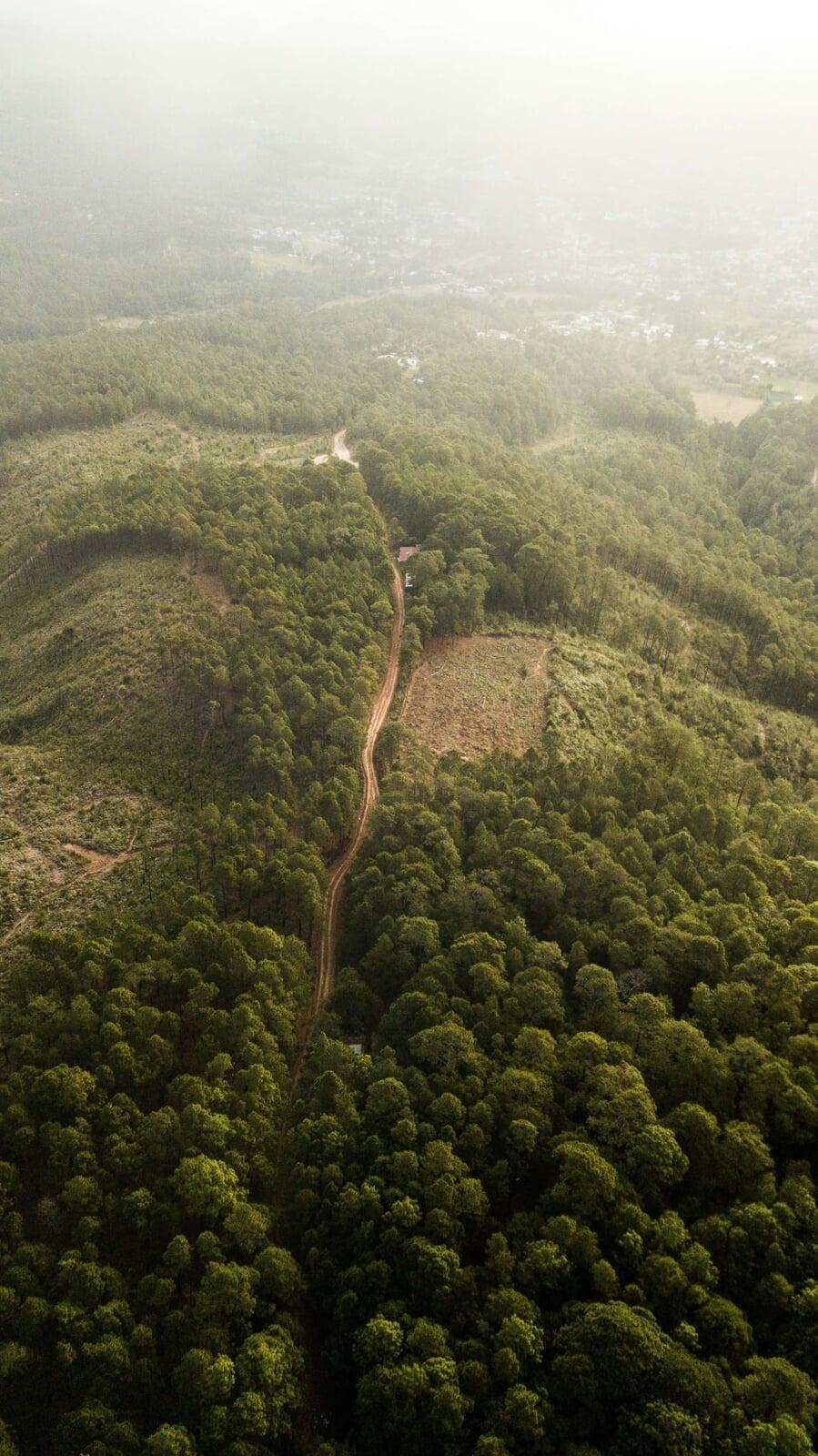
GFMI has certified professionals experienced in the delineation, interpretation and classification of forest and wetland ecosystems and the changes within, using 2D and 3D soft-copy technology. We can provide a range of resource and inventory services, customized to client specifications.
Delineate features and interpret current ecosystem conditions
Delineate features and interpret current ecosystem conditions
Productive & non-productive forest types
Forest cover species identification & proportional composition
Forest characteristics (e.g. crown closure, stocking, age, height & vertical complexity
Soil moisture regime & site type
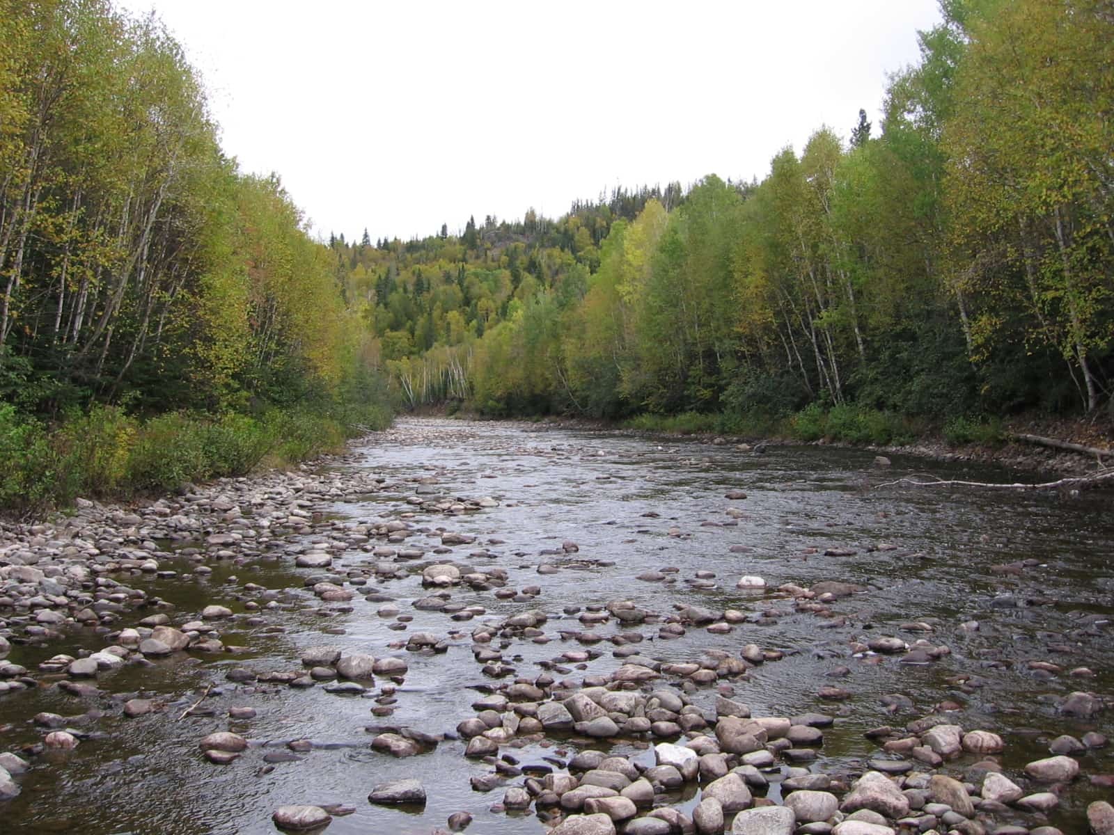
Wetland classification
Water features
Capture and interpret physical/spatial changes in the environment due to:
Capture and interpret physical/spatial changes in the environment due to:
Natural disturbances (e.g. wildfire, windthrow, insect damage)
Human-caused disturbances (e.g. land clearing, forest harvesting),
Natural or assisted forest regeneration activites
Other infrastructure such as:
Roads & railways
Water crossing structures
Pipelines & utility corridors
Pits & quarries
Tower sites
Cottage lots & campgrounds
Residential, commercial & industrial areas
Correct / update base feature data as a result of improved imagery accuracy
Correct / update base feature data as a result of improved imagery accuracy
Provide ground-based field surveys and plot sampling for ground-truthing and calibration, in support of ecosystem classification
Provide ground-based field surveys and plot sampling for ground-truthing and calibration, in support of ecosystem classification